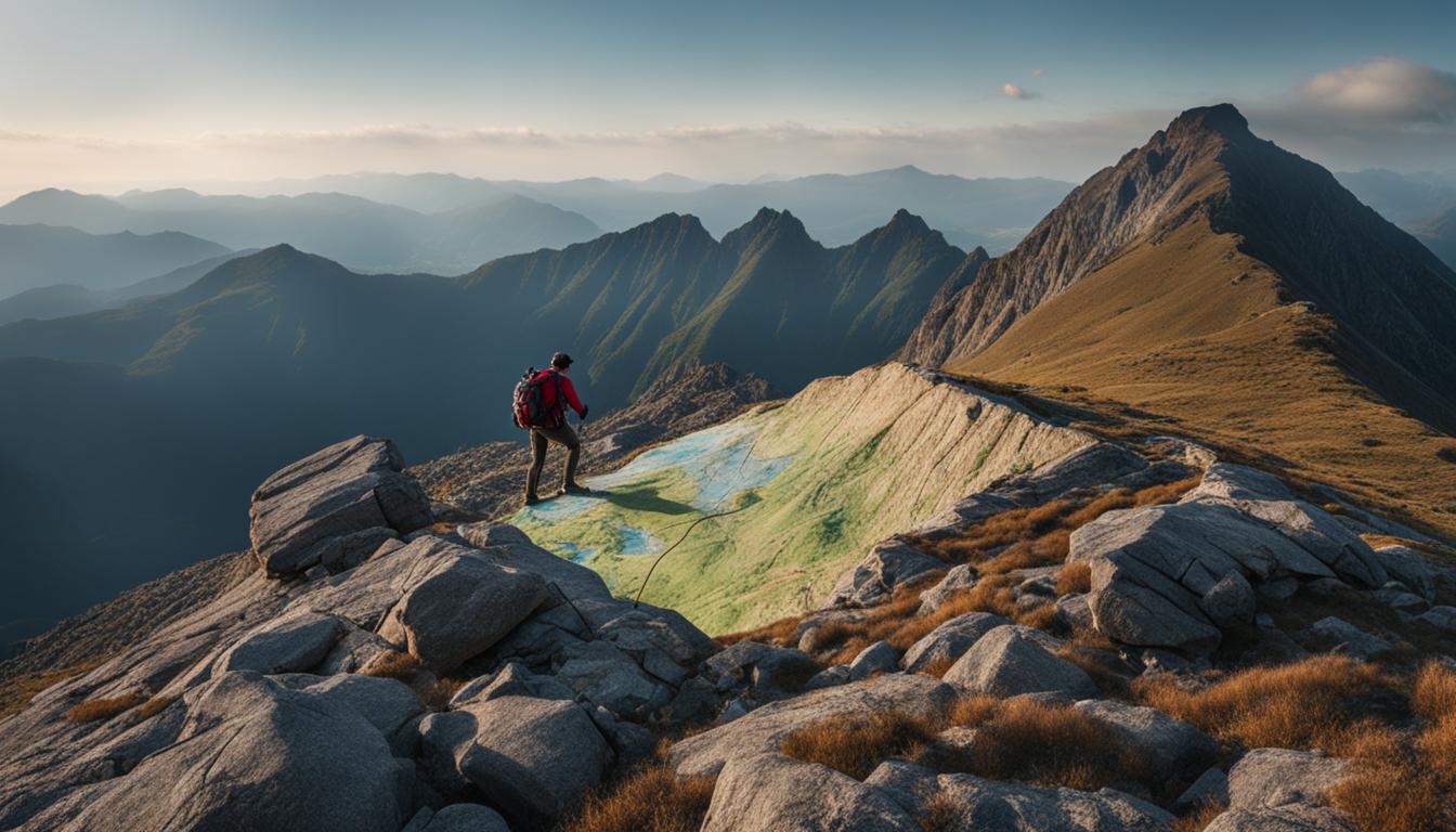
Hey there! If you’re planning a backpacking trip and want to make sure you’re fully prepared to navigate the wilderness, then learning how to read topographic maps is essential. These handy maps provide a wealth of information that can help you understand the terrain, plan your route, and have a safer and more enjoyable outdoor adventure.
Topographic maps, also known as topo maps or contour maps, are unique in that they can represent the three-dimensional features of the landscape in a two-dimensional format. They use contour lines to show changes in elevation, helping you visualize hills, valleys, and peaks. By mastering the art of reading topographic maps, you’ll gain valuable insights into the landforms and features you’ll encounter on your backpacking trips.
Not sure where to start? Don’t worry – I’ve got you covered! In this article, I’ll walk you through the basics of topographic map reading, give you tips on interpreting contour lines, and show you how to use topographic maps for navigation during your backpacking adventures. Let’s dive in and become topographic map pros!
Key Takeaways:
- Reading topographic maps is essential for backpackers to navigate the wilderness.
- Topographic maps use contour lines to represent changes in elevation.
- Understanding contour lines helps identify slopes, ridges, and other topographic features.
- Topographic maps provide valuable information for planning routes and finding landmarks.
- Using the scale and legend on topographic maps enhances navigation accuracy.
Understanding Contour Lines on Topographic Maps

Contour lines are an essential element of topographic maps and play a crucial role in understanding the features of the land. These lines connect points of the same elevation and provide valuable information about the terrain. By interpreting contour lines, backpackers can identify various topographic features such as steep slopes, gentle slopes, cliffs, and valleys.
The contour interval, which is typically listed in the map’s legend, represents the vertical distance between contour lines. By analyzing the spacing of contour lines, hikers can determine the steepness of slopes. When contour lines are close together, it indicates a steeper terrain, while wider spacing suggests a more gradual incline. It’s worth noting that contour lines never intersect, except in the case of a vertical cliff.
To better understand the landforms represented on a topographic map, it’s essential to study the contour lines carefully. By closely examining the contour lines, backpackers can gain insights into the shape of the land, its elevation changes, and potential obstacles that may lie along their path. Understanding contour lines is a valuable skill that allows backpackers to navigate with confidence and make informed decisions during their hiking adventures.
Interpreting contour lines is like reading the language of the land. It’s a skill that combines art and science, allowing hikers to unlock the secrets hidden within the topographic map. By understanding contour lines, we can gain a deeper appreciation for the complexity and beauty of the terrain we traverse.
Reading Landforms on Topographic Maps
Landforms can provide essential clues about the terrain, and topographic maps help backpackers decipher these features. By reading landforms on topographic maps, hikers can anticipate the challenges and opportunities that lie ahead. Here are a few key landforms to look out for:
- Ridges: These are long, narrow elevations that typically run parallel to each other. They are represented on topographic maps by a series of contour lines that form a V-shape, with the V pointing uphill.
- Valleys: Valleys are low-lying areas between ridges or mountains. On topographic maps, valleys are represented by U-shaped contour lines, with the U opening downhill.
- Cliffs: Cliffs are vertical or near-vertical features that can pose challenges for backpackers. They are depicted on topographic maps by contour lines that are very close together or form concentric circles.
| Landform | Representation on Topographic Maps |
|---|---|
| Ridges | V-shaped contour lines that point uphill |
| Valleys | U-shaped contour lines that open downhill |
| Cliffs | Contour lines that are very close together or form concentric circles |
By understanding contour lines and reading landforms on topographic maps, backpackers can visualize the terrain they will encounter, plan their routes more effectively, and navigate through the wilderness with confidence.
How Can Topographic Maps Help Improve Backpacking Skills on the Trail and Beyond?
Topographic maps are essential for honing backpacking skills, providing crucial details like terrain, elevation, and water sources. By studying these maps, hikers can plan routes, navigate challenging landscapes, and learn to read the environment, improving essential backpacking skills. These skills are invaluable on the trail and beyond.
Using Topographic Maps for Backpacking Navigation
Navigating with topographic maps is an essential skill for backpackers like me. These maps are invaluable tools for planning my routes, measuring distances, and finding my way through rugged terrains. Whether I’m exploring a new trail or revisiting a favorite destination, I always rely on topographic maps to guide me on my backpacking adventures.
Planning my backpacking routes becomes a breeze with the help of topographic maps. I can easily identify the best paths to take, avoiding potential hazards or obstacles along the way. By studying the contour lines and elevation changes, I can anticipate steep slopes or cliffs and adjust my route accordingly. These maps give me the confidence to explore new areas and venture off the beaten path.
Measuring distances on topographic maps is another valuable skill that helps me plan my backpacking trips effectively. The scale of the map allows me to understand the real-world distance represented on the map. This helps me estimate how long it will take to reach specific destinations and determine if I need to adjust my itinerary. With accurate distance measurements, I can better manage my time and energy during my backpacking journey.
Using the scale and legend on topographic maps is crucial for successful navigation. The legend provides key information about the symbols and colors used on the map, allowing me to identify landmarks, water sources, and man-made structures. By utilizing this information, I can stay on track, find necessary resources, and avoid getting lost. The scale helps me gauge the size and distance of the features represented on the map, ensuring that I have a clear understanding of the landscape I’ll be navigating.